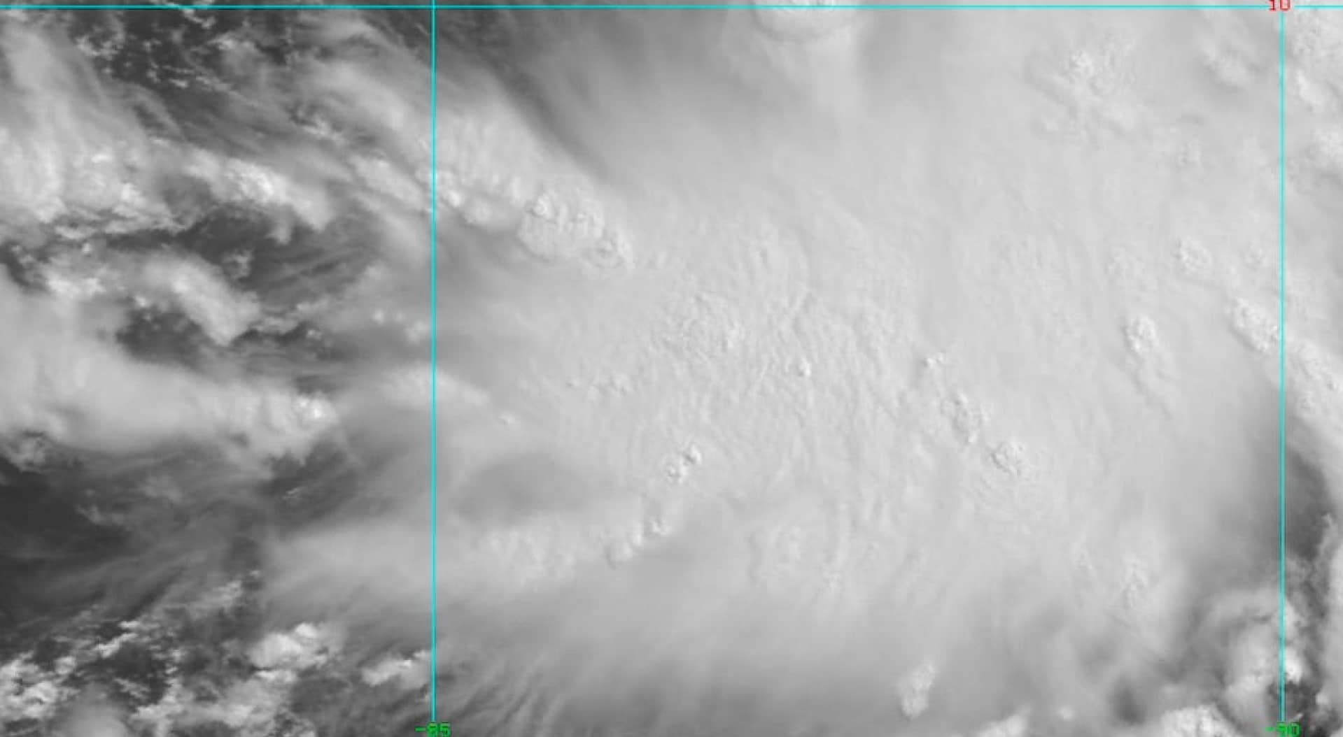
The India Meteorological Department (IMD) on Monday said a low pressure area has formed off the Andaman and Nicobar Islands which may intensify into a cyclonic storm over the Bay of Bengal in the coming days.
In a special report based on data received till 8:30 am on Monday, the Met Department said that a low pressure area has formed over the South Andaman Sea and the adjacent Strait of Malacca.
“It is likely to move west-northwest and intensify into a depression over southeast Bay of Bengal around November 29. After that, it is likely to move northwest and further intensify into a cyclonic storm over southeast Bay of Bengal during the next 48 hours.” ”, the IMD stated.
By November 30, forecasters forecast that the storm will move in a west-northwest direction and gradually intensify into a depression over the southeast Bay of Bengal. It is forecast to further intensify into cyclonic storm ‘Michaung’ over SW and adjoining SE Bay of Bengal during the next 48 hours – maximum sustained winds of 60-70 km/h with gusts up to 80 km/h expected h.
Senior meteorologist Jason Nicholls tweeted earlier: “A tropical low is crossing the Malay Peninsula towards the Andaman Sea and may become a trough in the Bay of Bengal around midweek. A good chance of becoming Cyclonic Storm Michaung before threatening East India or Bangladesh next weekend or early next week.”
The cyclone will be known as Cyclone Michaung as suggested by Myanmar. If it develops this year, it will be the sixth cyclone in the Indian Ocean and the fourth in the Bay of Bengal.
Light to moderate rainfall is expected over most of the Nicobar Islands, with isolated areas experiencing heavy to extremely heavy rainfall between November 29 and December 1. Light to moderate rainfall is expected over most of the Andaman Islands, with occasional areas of extremely heavy rainfall on 30 November.
The Met Department has not yet issued an estimate of its potential movement towards the coast or land. However, on November 28 and 29, the IMD issued an orange alert in the region.


